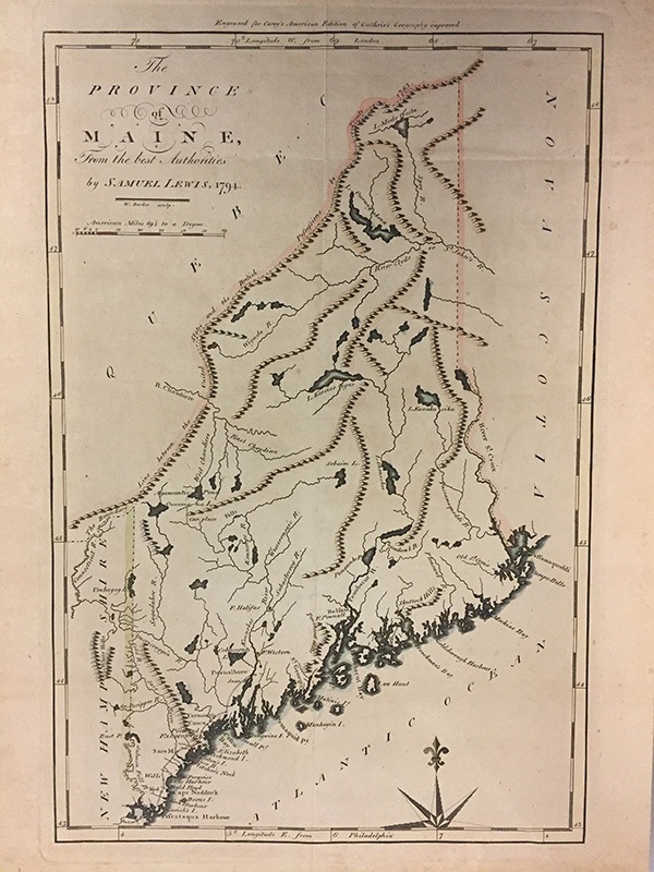
The Province of Maine From the Best Authorities, 1794, engraved by Samuel Lewis.
Image 5 of 26
Engraver Samuel Lewis completed this map for Mathew Carey’s American Edition of Guthrie’s Geography Improved (Philadelphia, 1795). The Irish-born Carey (1760-1809) was the first publisher to produce an atlas of America in America. This map shows the New Hampshire border and identifies the “Line between the United States and the British Possessions by Treaty 1783” including Quebec and Nova Scotia. The borders on this map are hand colored.
